PUBLIC NOTICE
Essex County Council has made the Order under section 14(1) of the Road Traffic Regulation Act 1984 to to temporarily close Footpath 25, Ingatestone & Fryerning, from its junction with Hardings Lane south for approximately 260 metres.
The closure will continue until 9 November 2023 or until the works have been completed and is required for the safety of the public and workforce while the replacement of fencing alongside footpath is undertaken.
The alternative route will be via Footpaths 25, 26, 20, 10 and vice versa.
For any info, please contact Essex County Council on 0345 603 7631 or visit their website www.essex.gov.uk/highways
This walk crosses countryside between Ingatestone and Mountnessing. It is described in a clockwise direction beginning at Ingatestone Hall. It may also be joined from footpaths linking into the circuit.
From Ingatestone Hall follow the footpath past the barns. William Petre built this hall after buying the previous manor house in 1539. After passing the Hall there are extensive panoramic views as you head towards Buttsbury Church on the hill in front of you.
At the River Wid turn right. In Old English the Wid was known as Writolaburna, meaning to chirp or chatter – a real babbling brook! As you walk along its banks, keep an eye out for Moorhens darting in and out of the reeds. Follow the path alongside the fields and hedges right down to Mountnessing Hall.
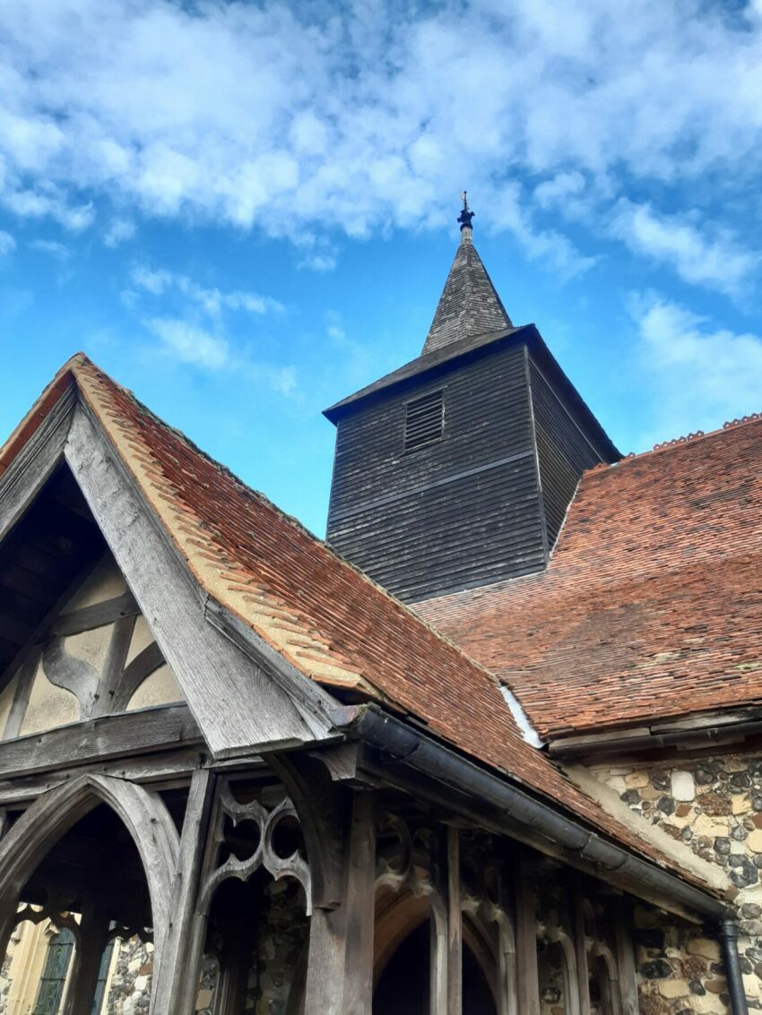
The Church of St Giles takes its name from the patron saint of beggars and cripples and stands next to Mountnessing Hall, which is Elizabethan with a Gerogian façade. See if you can spot the false window.
After passing between the house and barn, turn right for the shorter route or carry on straight across the field for the longer route.
The short route crosses a field and continues on to Padhams Green. After reaching the railway turn right towards Bacons Farm, and then follow the road back to Ingatestone Hall.
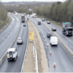
The longer route crosses several fields before coming into Mountnessing across the A12. You will pass St John’s, ‘The Iron Church’, which opened in 1873 and was built to be close to the village, and then you will approach a postmill.
A windmill was first recorded in Mountnessing in 1580. The present postmill was used regularly until 1924 when the owner started using an oil engine to grind corn. The walk through the open fields from the windmill over to Trueloves Lane commands superb views.
When you reach Trueloves Lane turn right and then left to go over the A12. Cross the main road to Roman Road and then head left towards Rye Walk. At the end of the road turn left and then right taking the footpath to go under the railway via the pedestrian tunnel. Then absorb the views as you head back toward Ingatestone Hall to finish the walk.
Contact: Robert Fletcher
rfletcher189@gmail.com
07910 679379
The Ramblers/Ingatestone Pedallers Social Cycling Group